

Participation of the Almalyk Mining and Metallurgical Combine in the use of groundwater in the Akhangaran river basin
Today, the lack of drinking water in the world is one of the most urgent problems. The main supply of drinking water falls on groundwater. However, it is drinking water that is involved in production on an industrial scale as process water. More than 25 million tons of copper are produced in the world today. Billions of tons of ore are mined for it, and it is processed. Only at the Almalyk Mining and Metallurgical Combine, by 2021, 35 million tons of ore were mined and enriched by flotation. This process requires an average of 4.5-5.0 cubic meters of water per ton of ore, for a total of 160 million cubic meters of water per year. By 2027, the productivity of the Almalyk KMK will increase by 3 times and amount to 100 million tons of ore per year. This means that, on average, by this period, 480 million cubic meters of water per year is required only for the Almalyk KMC.
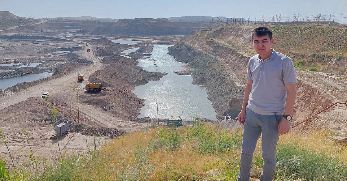
Everyone knows that there is a shortage of drinking and irrigation water in the Republic of Uzbekistan. Thus, if it is necessary to effectively use groundwater and groundwater, search for groundwater, the efficient use of groundwater on mountain slopes remains one of the most pressing issues not only of the present, but also of the near future. Especially underground waters on the slopes of the Kalmokkyr deposit, the largest in Central Asia, lead to the formation of various mountain cracks and landslides. It is at such deposits that a large number of studies have been carried out on the efficient use of groundwater, their industrial application.
The Akhangaran river basin is one of the industrialized regions of Uzbekistan, and the presence of the cities of Angren, Almalyk and Akhangaran, as well as the Angren coal deposit, Novo-Angren thermal power plant and Almalyk KMK once again confirms the importance of studying the reserves, water quality and use of groundwater in the Akhangaran river basin.
Today, in the practice of the countries of the world, research work aimed at studying changes in the groundwater regime is one of the main scientific directions in the field of hydrogeology. In particular, one of the primary problems of most countries is the violation of the groundwater regime. In many countries of the world, certain scientific research is being carried out on water level control systems and their improvement. Due to the fact that the hydrogeological conditions and groundwater regime of each area on earth are different, it is important to conduct scientific research to identify, evaluate and scientifically substantiate the factors affecting them.
Almalyk KMK is one of the largest industrial enterprises of the Republic of Uzbekistan, in addition, it is focused on the production of exported products. The ore is mined in an open pit, then these ores are separated, crushed and enriched by the flotation method. The grinding process is carried out in an aqueous solution. The solution then passes into enrichment, which proceeds in a completely aqueous medium. At the processing plants, the flotation method processes an average of more than 35 million tons of ore per year, the average hourly water consumption of the plant is -21,000 m3 / s.
The Almalyk-Akhangaran industrial zone has a rich mineral resource base, but is poor in water resources.
The water resources of the industrial zone are represented by surface and underground watercourses of the Akhangaran River and its tributaries. There are no glaciers in the Akhangaran river basin, so the river runoff, which is the main factor in the formation of groundwater, largely depends on the degree of moisture in the year. The frequency of dry years in 10 years (Р > 50%) is 4-5 times.
In the intermountain valley of the Akhangaran River, in a zone limited by alluvial deposits of the upper anthropogenic period and well-permeable aquifers, significant reserves of groundwater have formed. Part of the valley from the Turkish village to the Syr Darya has underground water sources. The thickness of aquifers throughout the valley ranges from 10 to 120 m.
Groundwater is saturated with reserves, surface runoff and lateral absorption. They flow to the surface of the earth and are consumed by evaporation.
The climatic features of the region are also one of the factors affecting the groundwater regime. From January to May 2020, the annual rainfall increased several times. According to the Angren meteorological post, located at an altitude of 942 meters above sea level, the annual rainfall for 2019 was 580.3 mm, which is 495.8% of the long-term average (115.8 mm). In the Akhangaran river basin in October 2019 and March 2020, the amount of precipitation was 435 mm, that is, 124.8% of the norm. The reason for the relatively high melting of snow in the lower belts is that in March on the Kurama and Chatkal ranges the air temperature was 3-5°C above the norm. According to our measurements and research, the air temperature is characterized by the following indicators: the average annual temperature is 17.5°С, the norm is 16.9°С (in 2018-2019, the air temperature in summer reached 46°С), the coldest were February 2018 and February 2019 , and the average monthly temperature is 2.6-3.5°C. The norm is 1.6°C, the hottest July and August (until August 20), and the average monthly air temperatures are 31.5°C and 26.1°C (2019). The average annual relative humidity is -54%, the highest humidity is observed in July 76%, and the lowest -29%.
The combined deposits "Kalmokkir" and "Eshlik I" are located in the Pskent district of the Tashkent region, not far from the city of Almalyk, on the western slope of the Kurama Range. Administratively, the territory of the deposit belongs to the Pskent district of the Tashkent region of the Republic of Uzbekistan.
The joint field "Kalmokkir" and "Eshlik I" is located on the land plot of JSC "Almalyk KMK".
The relief of the territory of the deposit is Piedmont, slightly hilly. The steepness of the mountain slopes ranges from 10° to 26°. Absolute heights on the territory of the deposit range from 540-820 m, in the area of the Southern dump they reach 1000 m.
The deposit is located in favorable geographical and economic conditions, in an industrial zone with a developed processing and metallurgical industry.
The sources of drinking and household water supply are surface runoff and groundwater of the Akhangaran river valley, which provide the water needs of all industrial enterprises and the population of the city of Almalyk. For the organization of household and drinking water supply, the systems of OOO “Suvokova” in Almalyk and the Kerauchinsky water intake are used. Sources of industrial water supply are 65 well groups and one well water intake.
The "Eshlik I" deposit is adjacent from the southeast to the Kalmokkir deposit, which has been mined in an open pit since 1954. In the north-east of the deposit there is a drained lead-zinc quarry (lead-zinc ores). From the west, the deposit is confined to the Almalyksai upper layers of the Kalmokkir quarry.
The proximity of the flooded lead quarry to the territory of the quarry suggests the organization of additional measures to study and prevent potentially dangerous geological and hydrogeological processes.
The Eshlik 2 field is located near the Kalmokkir quarry, since 2017, work has been underway to put the field into operation. Considering the close location of the Eshlik 2 and Kalmokkir open pits, in the future, during the operation of their open deposits, the inevitable merger of open pits is expected.
There are three water intake facilities at the fields of Almalyk KMK JSC, two of which are designed for technical water supply, and one Suvokova for drinking water supply of the city of Almalyk. The total number of water wells in the city of Almalyk is 53, on average 23 wells are operated, 29 are in standby mode, 20 of them are intended for Almalyk KMK JSC.
There are two groups of water intake facilities on the Karakitay site. The total number of wells for water is 30, of which 18 are in working condition, and 12 are in reserve.
There is one linear water intake facility in the Kacharsky area, consisting of 13 pumping wells, all of which are in operation.
In addition to water intake facilities, along the valley of the Akhangaran River in the southwestern part of the tailing dump No. 1, there are a number of pumping wells to capture polluted water flows. Additional water wells are also located on the territory of processing enterprises on the territory of Copper Processing Plant No. 1 and Copper Processing Plant No. 2. The water diverted from the water intake area of the Kalmykkir open pit replaces the process water supply.
3-water supply to the copper processing plant is carried out from the existing Karakhitay water intake, Akchasai and Novy Kultepinsky sites. The two existing water intake facilities are located at a significant distance from the existing water supply system. To ensure water intake, it is planned to install 83 new wells.
From these data, we can conclude that in the future, the development of the mining industry in the Akhangaran river basin, increasing the quantity and quality of exported products, creating new jobs, increasing production volumes by several times are priority areas for the socio-economic development of the region. But the efficient use of water resources is also an important task. Therefore, it is also important to intensify hydrogeological survey work on the territory, identify more and more new sources of surface and groundwater, bring them to use, and rationally use what is available.
Azamat Fozilov,
3rd year doctoral student
Department of Geography and Natural Resources
Samarkand State University.